
Back to the live map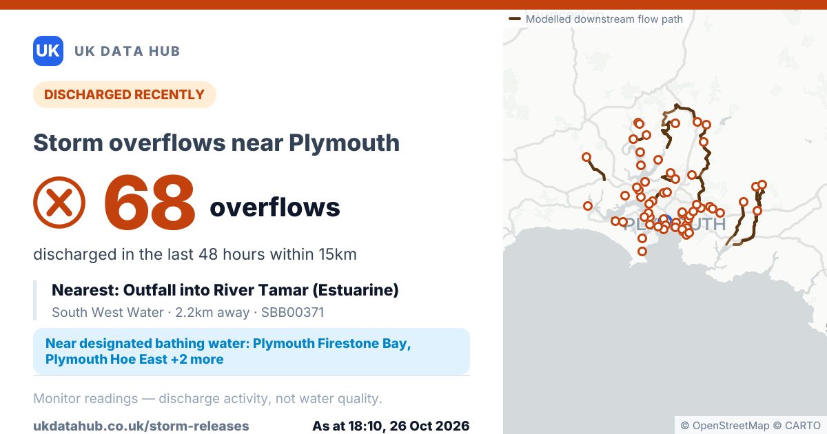
Storm overflows near Plymouth
Event Duration Monitor readings within 15km of Plymouth, as at 18:10, 26 Oct 2026. Indicates discharge activity, not water quality.
DISCHARGED RECENTLY
68overflows
discharged in the last 48 hours within 15km
Nearest: Outfall into River Tamar (Estuarine)
South West Water · 2.2km away · SBB00371
Near designated bathing water: Plymouth Firestone Bay, Plymouth Hoe East +2 more
CLOSEST MONITORS
- Outfall into River Tamar (Estuarine)South West Water · SBB003712.2km
- Outfall into Cattewater (Estuarine)South West Water · SBB012912.9km
- Outfall into Cattewater (Estuarine)South West Water · SBB012902.9km
- Outfall into Plymouth Sound/plym Estuary(E)South West Water · SBB009453.1km
- Outfall into Cattewater Plym EstuarySouth West Water · SBB007463.3km
Event Duration Monitor readings — indicates discharge activity, not water quality.
As at 18:10, 26 Oct 2026
Posting the link attaches this image automatically. It is fixed to this moment, so it will still show these figures whenever someone opens it.